


I-10, Corn Spring Road to Red Cloud Road. 19.4 miles/3129.4 total
Tuesday, January 18, 2011
8:35 a.m. I set out from the Corn Springs Road exit of I-10. Today I’ll be going through the bleak little village of Desert Center at about the halfway point, then on down the freeway to the Red Cloud Road exit, 19.4 miles in all.
It’s another warm day, heading up into the 80s. No clouds. I’ll be down to my t-shirt again soon.
I walk down what’s left of Chuckwalla Valley Road, which isn’t much. In about a quarter mile it ends and I am off on a narrower road of sand. I have to cross over to the north side of the interstate anyway, because according to the map there’s a place called Hell over there, just off the highway about three miles west of my starting point. I’ve been past there a few times and have seen nothing, so I assume it’s a ghost town, if that, but I’m hoping to see some remnants of it.
I find a dry ditch where I can crawl under the barbed wire fence, and after crossing the highway I find a similar spot, where one strand of barbed wire has been cut or broken, and I once again slip through without having to climb over.
In our theology we’re taught that you don’t have to look for Hell, rather that it will invariably find you, or lure you to itself, or that it’s waiting for you unless you do certain things or at least behave yourself. Getting to Hell is easy; it’s getting to Heaven that takes the serious effort. With all that in mind I’m expecting to see a primrose path, or at least a road paved with good intentions.
I should see Hell within the next hour. The fact that it remains on the map would seem to indicate that there’s something here, even if it’s just a ghost town. I’m not expecting a tableau out of a Hieronymus Bosch painting, maybe just a wrecked building or two.
Off to my right is a huge orchard, covering hundreds of acres. Most of the trees are only four or five feet tall. Some are close enough that I go over to investigate. I think they’re tangerines or small oranges, based on some dried fruit from last year I see lying on the ground. When I get close I see that each of the many thousands of trees is being watered with a tiny trickle by a vast irrigation system. Just enough water to keep them going.
It’s been three miles or more and I’ve seen nothing. Not even a little profusion of trees from which I could surmise that there once was a community. Just one dry ditch after another, and lots of rocks and bushes and dead and dying mesquites. And a good sprinkling of old litter, some of which may date back fifty years or more. Rusted beverage cans with openings made by pull tabs, and a few that have been opened the even more old fashioned way, with the pointed end of a church key. And some of those stubby brown bottles they used to put beer in up through the 1970s. No matter what anyone says about littering, it’s a privilege to be following in the footsteps of litterers from the past. Without such people we would have no archeology. I’m grateful that my forebears here in the desert took the trouble to leave their trash rather than disposing of it properly. To be sure, there’s plenty of newer trash here, too—even stuff from only a few weeks or months ago. I’m not sure how people even get to places like this with vehicles, much less sit around for hours and drink beer and eat pretzels, but they do.
(It turns out that this Hell never was much, and is nothing today. It was founded in 1954 by a man named Charles Carr, who lived there with his wife and son as the only three inhabitants. He was also the head of the chamber of commerce. It had a gas station, a tavern, and a good supply of drinking water. But in the late 50s it was abandoned when it was isolated by new highway construction, and in 1964 its remains were demolished and burned by the Highway Department to make way for Interstate 10. Fitting, somehow. All this I did not know until this evening when I sat down to do the blog, so during the walk I was looking for at least some remnants, in the form of abandoned buildings or pieces of foundations or household junk.
I realize that map making is an inexact science. Most of the time maps start with older maps, and improvements and changes are made based on the best information available. Mistakes are repeated more often than they are rectified. Place names continue to show up on maps where there are no longer towns. More often than not these places have been subsumed into larger towns, and so they do exist, just not as separate entities. Their names have a bit of nostalgic value, to tell the visitor that there was once a bit of commerce or a stage coach stop or a train station at this spot where's there now just a subdivision or a dentist's office. I’ve seen this phenomenon all over the country as I’ve walked. But I've also seen spots, like this one, where there's nothing left. There comes a time when you have to let a place go, and in this case I think the cartographers really should have done some research, then made the executive decision to eliminate Hell from the map. With a population of three, it didn’t deserve to be there in the first place, except just for laughs. And now it’s been gone—not just abandoned but demolished—for over 45 years. There is no Hell, people! Wake up!)
Having sought Hell and not found it, I now discover that the road is no longer broad, nor is the gate wide. In fact, the road ceases to exist, first becoming cluttered with rocks, big and small, then disappearing altogether. I’m once more climbing down and up the embankments of dry ditches and zigzagging around looking for a reasonably smooth place to walk. I try to keep the highway within a quarter mile of where I am, but I keep following little sandy swales made by the rare rainfall, and winding all over the place. To go straight is like going over an obstacle course.
Come to think of it, maybe I found Hell after all.
After a very long morning of this kind of walking I see the sign for the Desert Center exit, at 9.2 miles. There's a cluster of palm trees between the town and the interstate, many of which have no tops on them. Ghost trees. A real road begins to form, and I get to come in out of the wilderness, so to speak, as I approach the town. The midday sun is quite hot.
The dirt road widens into a two-lane blacktop road and I pass a trailer park called Coyote Village, containing perhaps thirty trailers, only about a half dozen of which look inhabited. Almost a ghost park.
Beyond Coyote Village is a large junkyard containing cars, trucks, buses, boats, and motor homes—a vehicle graveyard--with a large ghost building in its center, windows boarded up or gaping open and free of glass. Most of the vehicles date from the 50s and 60s—a Dodge Coronet, a Nash Metropolitan, the skeleton of an orange Corvair, a Buick Riviera, a pair of tiny MG sports cars.
In Desert Center itself, the only business other than the post office that’s open, as far as I can tell, is the Desert Center Cafe, which is no great shakes. I go in and buy a couple of bottles of water. Outside are a defunct grocery store, two abandoned gas stations, and a string of other empty buildings. There is a historic marker, though. It says that near here was the site of Contractors General Hospital, started in 1933 by Dr. Sidney R. Garfield, which delivered health care to Colorado River Aqueduct workers through a prepaid health plan. Later Dr. Garfield associated with industrialist Henry J. Kaiser and started Kaiser Permanente, the largest prepaid nonprofit health care program in the country.
Westward I go out of Desert Center for the second half of today’s walk. For now at least I’m on a real road, running to the Eagle Mountain Road exit. The road begins to go gradually uphill as the mountains close in. I see my first piece of California roadkill, a jackrabbit lying on its back, eviscerated in the afternoon sun.
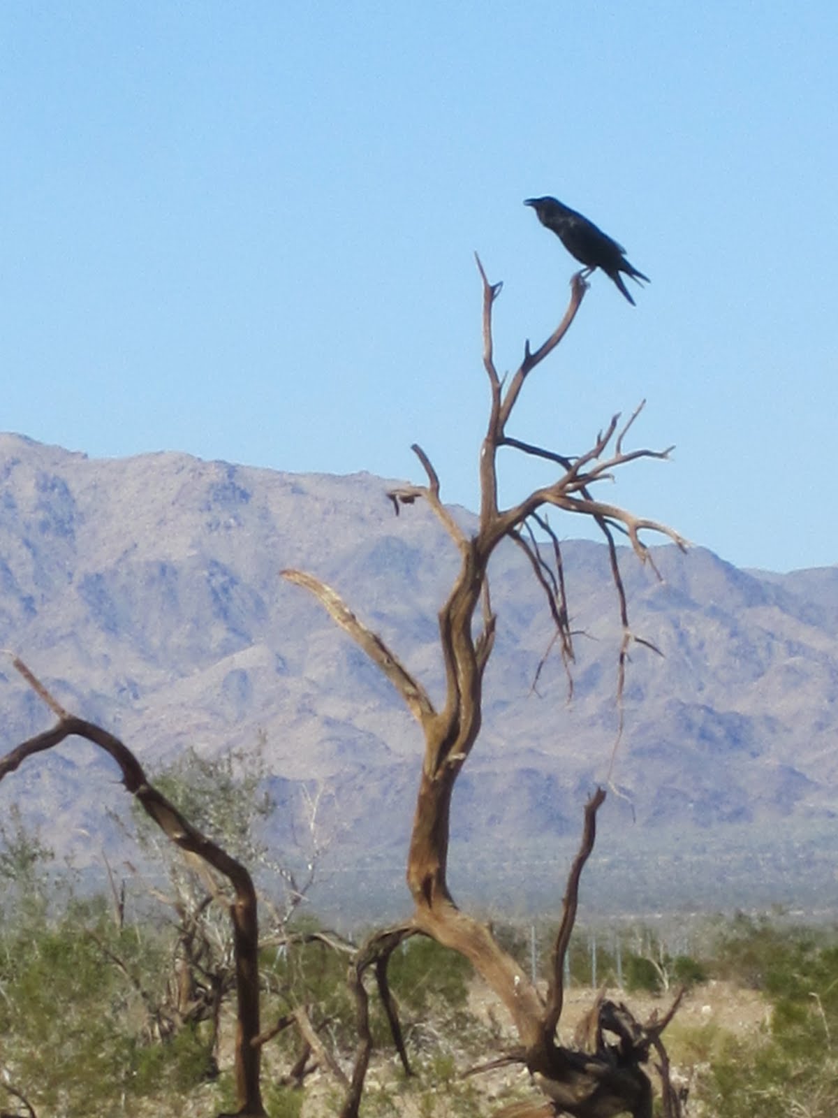
At this exit I cross under I-10 and begin walking on the south side again, on a one-lane dirt road. Although their larger cousins the chuckwallas are hibernating right now, little gecko-like lizards dart across the warm sand and into and out of old tree trunks and between rocks. They and the crows are about the only live fauna I’ve seen in the Colorado Desert so far. I see plenty of tracks though, of coyotes, rabbits, birds of several kinds, and some cloven-hoofed animal.
This sandy road feels like a carpet after my search for Hell this morning. Had I not been on that wild goose chase, I probably would have been on this very path. I’m happy to be spending the rest of the day walking in comparative comfort.
I walk for another two and a half hours, and watch the sun begin to sink toward the horizon. I can’t see the freeway exit yet, so I go down closer to the barbed wire fence to get a better look at the road, hoping to catch a glimpse of a green sign indicating something. Eventually I see one that says Red Cloud Road is coming up in another mile.
All during today’s walk I’ve seen dead and dying mesquite trees, their bare branches dipping down spiderlike to almost touch the ground. It’s been a day of ghosts—ghost trees, ghost towns, ghost gas stations—ghosts of all kinds but no Hell.
Each morning as I begin my walk I calculate precisely what time I will arrive at my destination if I average three miles per hour all day long. Because that’s my walking pace, any breaks I take or trips to stores or museums or pauses to look around will add time to the original calculation. At the end of the day I check to see by how much I have exceeded this ideal end time. On a typical day I’ll finish in about 35 or 40 minutes over. Very rarely, I get there in the exact allotted time, which means I’ve kept up a fast pace and made very few stops and have been full of energy. Sometimes I get to the end more than an hour after the time, especially if I’ve been through a city and have made lots of stops or slowed down to see the sights. Today I will be over an hour and a half over, due in large part to the extra distance I traveled while meandering through the desert this morning. Of course it’s all good, as they say, because the only requirement I really impose on myself is to finish walking before dark. Walking all day is what I do. It’s piecework, and I only get credit for the completion of the job, not for how fast I do it.
1 comment:
Actually Hell still exists. It's in Michigan, located somewhere in the Ann Arbor - Pinckney area. The locals call it "The Hysterical Town". Naturally, there are a lot of products from Hell that are available. And all the businesses have clever names like Scream's Ice Cream, etc. I can't remember the name of the bar (This Damn Bar or something), but its popular with bikers. So don't despair. There is a Hell.
Post a Comment